Home > Apps > Maps & Navigation > All-In-One Offline Maps

| App Name | All-In-One Offline Maps |
| Developer | Psyberia |
| Category | Maps & Navigation |
| Size | 7.2 MB |
| Latest Version | 3.15d |
| Available on |
OfflineMaps: Your All-in-One Offline Map Solution
OfflineMaps provides extensive map access without the drawbacks of online maps. Enjoy a truly offline experience with no ads, data sharing, analytics, or third-party libraries.
Tired of waiting for maps to load? OfflineMaps ensures instant access to pre-downloaded maps, even without an internet connection.
Key Features:
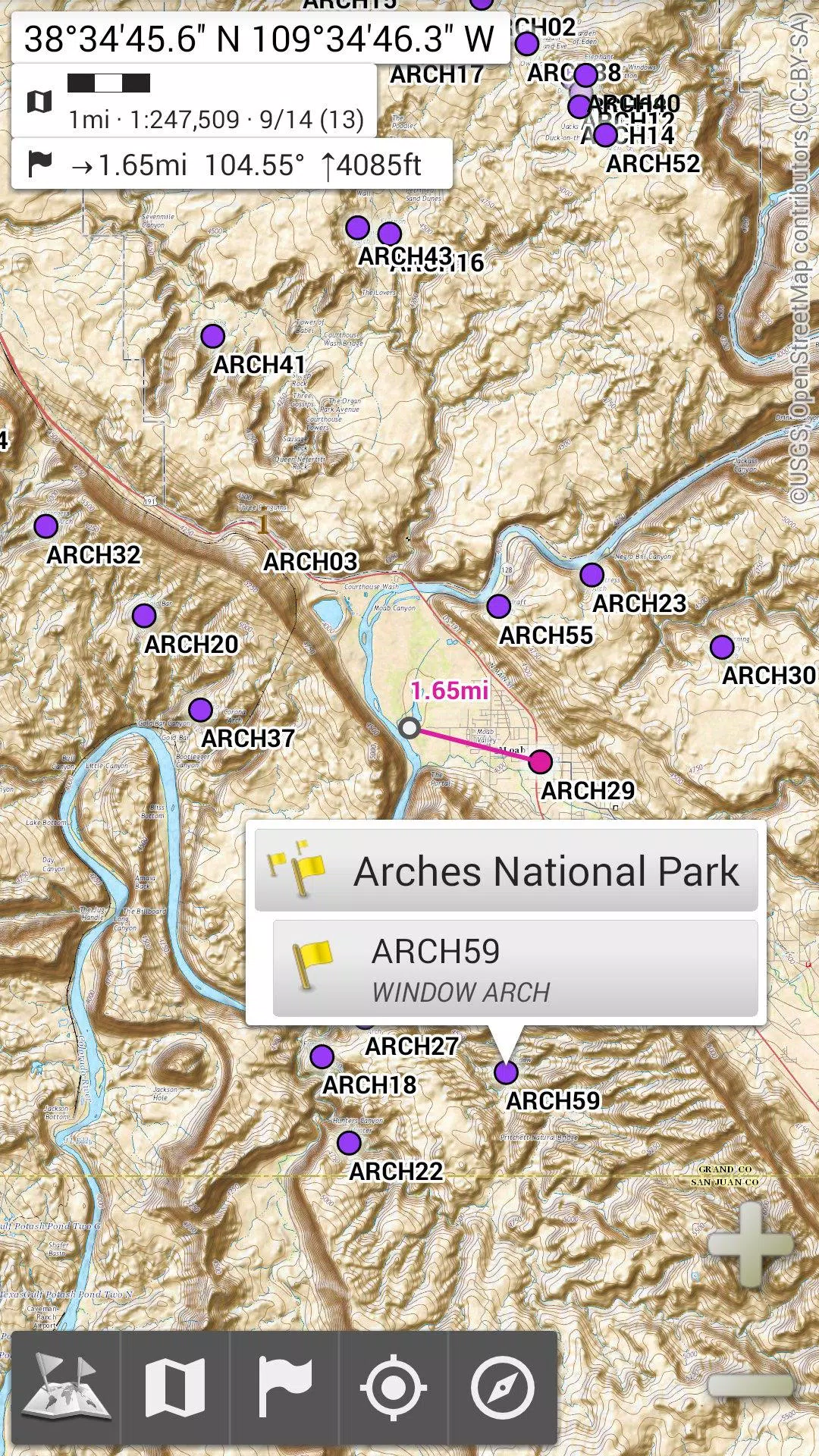
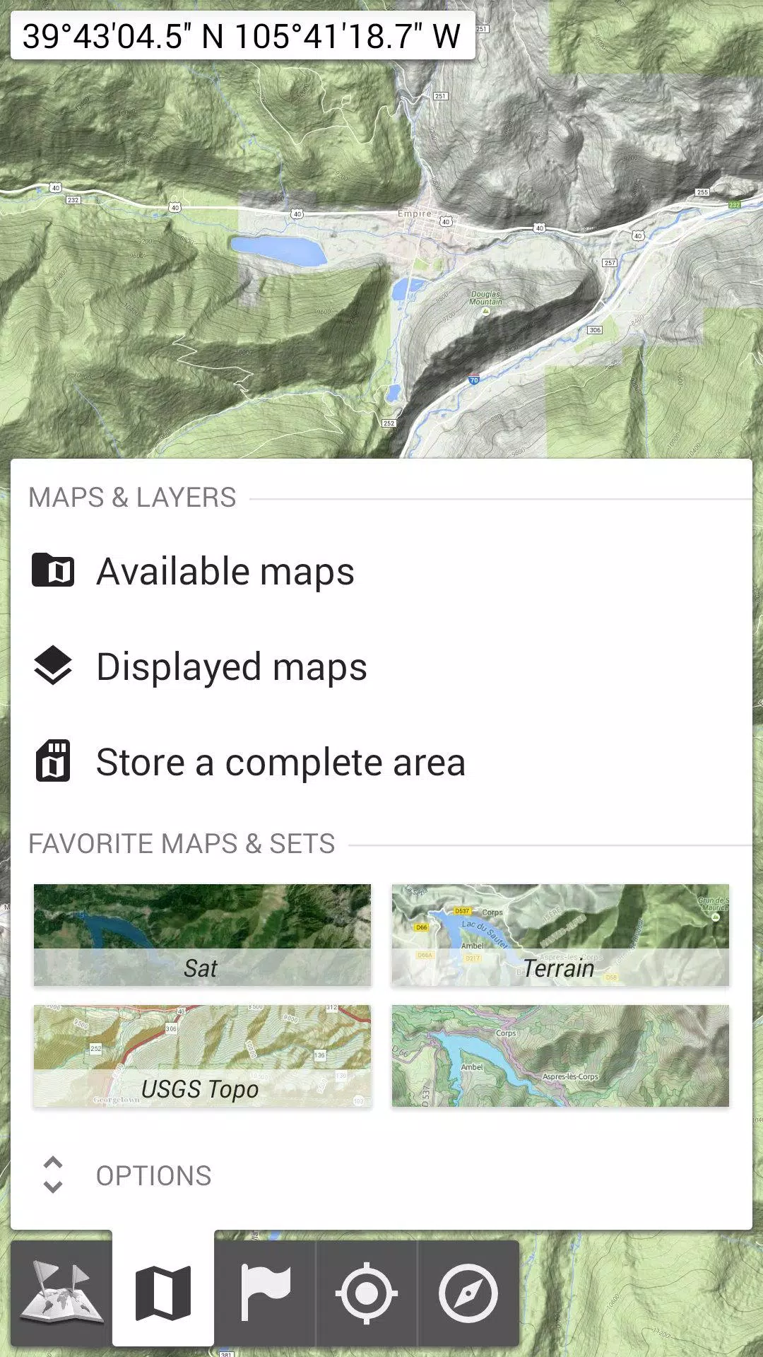
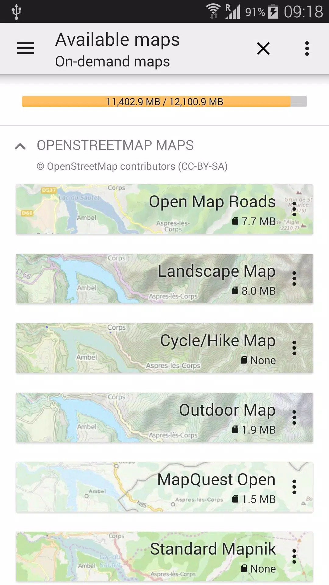
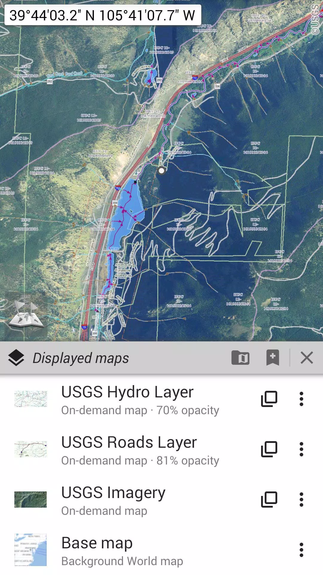
- Beyond Basic Road Maps: Access a variety of map types, including road maps, topographic maps, aerial imagery, and more. Layers can be added and customized. Available map sources include OpenStreetMap, USGS National Map, and worldwide military Soviet topo maps.
- Offline Access Anywhere: Perfect for areas with poor or no network coverage, international travel, or users with limited data plans.
- Versatile Map Management: Easily stack map layers with adjustable opacity, select and save large areas quickly, and manage storage efficiently.
- Unlimited Placemarks: Create and manage waypoints, icons, routes, areas, and tracks directly on the map. A powerful SD-Card Placemarks Explorer simplifies organization.
- Integrated GPS: View your real-time location and orientation on the map (device capabilities permitting). Easily toggle GPS on/off to conserve battery.
- Customizable Settings: Choose from metric, imperial, or hybrid distance units. Support for numerous coordinate formats (UTM, MGRS, USNG, and many more) is included, with the ability to import from https://www.spatialreference.org. On-map grids, fullscreen view, and multi-touch zoom are also available.
Looking for Advanced Features?
For serious adventurers, check out AlpineQuest Off-Road Explorer, a comprehensive outdoor app built upon OfflineMaps. It includes a powerful GPS track recorder and much more: https://www.alpinequest.net/google-play
-
 Invisible Woman Debuts in Marvel Rivals Gameplay
-
 Anime Power Tycoon Embraces Lucrative Codes for Enhanced Gameplay
-
 Hades 2 Warsong Update Reintroduces Ares and Brings a New Boss
-
 Fallout-Style Game Last Home Soft Launches On Android
-
 Roblox: Free Robux via Peroxide Codes (January 2025)
-
 Squid Game: Unleashed offers immense in-game rewards for watching the show on Netflix


